
 To mark International Earth Day and the 25th anniversary of its activities, the National Land Service will open the exhibition “Lithuania on Maps” on 19 March at 3 p.m. at the Vilnius University Library’s Scholarly Communication and Information Centre, Sauletekio Ave. 5, Vilnius.
During the opening, visitors will have the opportunity to explore the exhibition’s displays, introduced by geographer Professor Algimantas Česnulevičius and historian Associate Professor Tomas Čelkis. They will discuss Lithuania’s history as reflected in historical maps, the development of cartography, and the evolution of Lithuania’s name across different periods, as well as the historical context of early written sources and the significance of these materials for understanding Lithuania’s past.
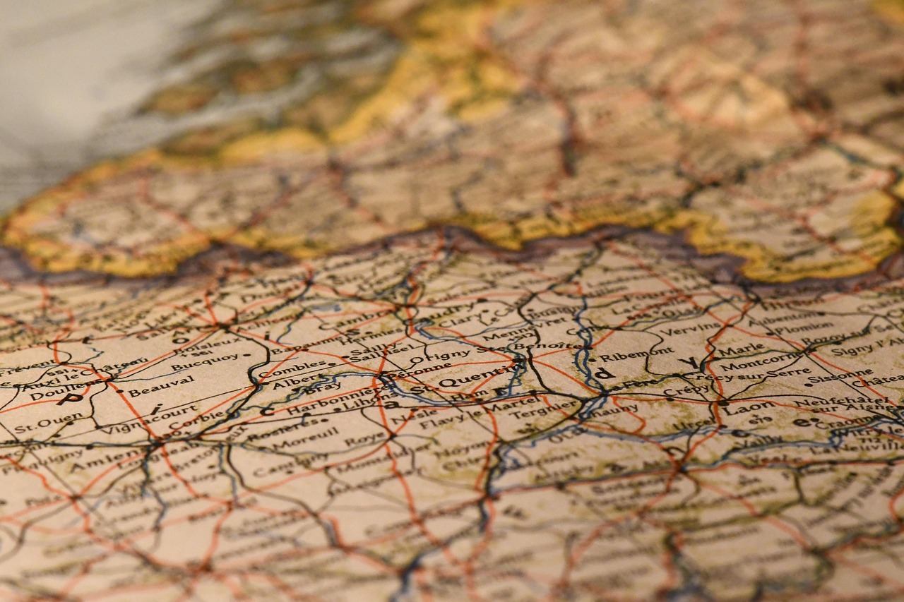
The exhibition shows how the name, borders, and cartographic depiction of Lithuania have evolved over the centuries. In medieval cartography, Lithuania first appears as a pagan land, and later, during the period of the Grand Duchy of Lithuania, it is depicted alongside the major European states. After the partitions of the Polish-Lithuanian Commonwealth in the late 18th century, Lithuania’s name gradually disappears from maps, only to re-emerge after World War I with the restoration of the state. During the Soviet occupation, Lithuania was marked on world maps as part of the Soviet Union, while the restoration of independence in 1990 returned the country’s name to maps of the world.
The first part of the exhibition focuses on the earliest mentions of Lithuania in maps. Visitors will see works by 14th–15th century cartographers. Although Lithuania was first mentioned in written sources in 1009 in the Annals of Quedlinburg, it appears on maps only in the 14th century, when Genoese cartographer Pietro Vesconte included the name “Letoini pagani” on his world map.
The second part presents one of the most significant works in Lithuania’s cartographic history – the map of the Grand Duchy of Lithuania prepared by cartographer Tomasz Makowski on the initiative of Mikołaj Krzysztof Radziwiłł the Orphan. Work on the map began in the late 16th century, based on surveyor data collected during the Valak land reform and military cartographic materials. The map was completed in 1599 and is believed to have been published in 1603.
The third part of the exhibition highlights the return of Lithuania’s name to maps and the cartography of the interwar period. Exhibits include maps of the Baltic States, an ethnographic map of European languages, and materials illustrating changes in Lithuania’s eastern border during times of historical transformation. Interwar Lithuania is known for significant achievements in state-building: strengthening Lithuanian culture, implementing land reform, and developing strong agricultural holdings.
The exhibition opens symbolically on the eve of Earth Day and the spring equinox. It will be on display at the Information Centre until 24 April, also covering International Mother Earth Day on 22 April.
Admission to the exhibition is free. It is open daily from 9 a.m. to 8 p.m. at the Vilnius University Library’s Scholarly Communication and Information Centre, Sauletekio Ave. 5, Vilnius.
2026-03-18